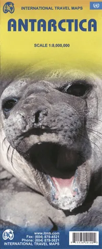
This is actually brand new artwork, replacing the partly-digital version with new digitized line work. It looks similar to the earlier editions; its real value will be in tracking changes to the continent as the ice cover gradually melts.
The map includes two inset maps showing the international territorial claims and the sub-glacial highlands of the continent.
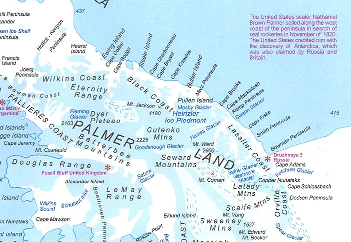
The map is well annotated with facts on the region's history, geography, etc. Relief is shown by elevation tinting and the research bases are clearly marked in red. Major natural formations are named and 3 of the most important expedition routes are marked (Amundsen, Scott and the Trans-Antarctic).

 Cart(
Cart(


![Yonex Power Cushion Sonicage 3 Men's Shoes: All Courts [Black] Yonex Power Cushion Sonicage 3 Men's Shoes: All Courts [Black]](https://www.fmeshsole.shop/image/yonex-power-cushion-sonicage-3-mens-shoes-all-courts-black_9D18nl_300x.webp)


